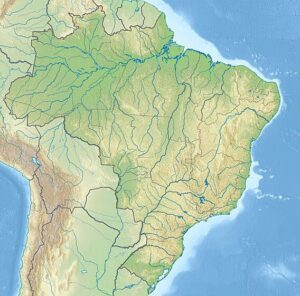
Brazil in the state of Maranhão along the eastern coast, bordered by 70 kilometres (43 mi) of beaches along the Atlantic Ocean.[5][6]: 80 Inland, it is bordered by the Parnaíba River, the São José Basin, and the rivers of Itapecuru, Munim, and Periá.[6]: 80 The park encompasses an area of 155,000 hectares (380,000 acres), composed mainly of expansive coastal dune fields (composed of barchanoid dunes), which formed during the late Quaternary period.[1][6]: 79

While much of the park has the appearance of a desert, the area receives about 1,200 millimetres (47 in) of rain per year, while deserts, by definition, receive less than 250 millimetres (10 in) annually.[3] About 70% of this rainfall occurs between the months of January and May.[5]
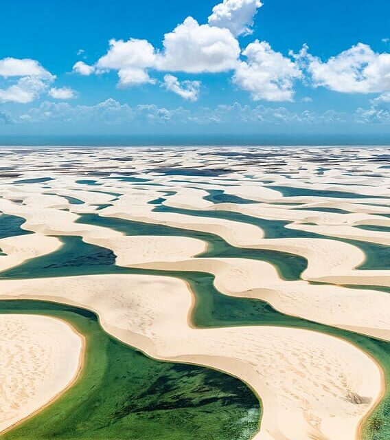
The sand is carried to the park from the interior of the continent by the Parnaíba and Preguiças rivers, where it is then driven back inland up to 50 kilometres (31 mi) by winds, creating a series of sand dunes rising as much as 40 metres (130 ft) tall.[3] During the rainy season, between the months of January and June, the rainstorms fill the spaces among the dunes with fresh water lagoons of up to 100 metres (330 ft) in length and 3 metres (10 ft) in depth, and together comprising as much as 41% of the area of the park.[5][7] The water in the lagoons is prevented from draining by a layer of impermeable rock located beneath the sandy surface.[2] The lagoons typically have a temperature between 27.5 °C (81.5 °F) and 32 °C (90 °F), pH of between 4.9 and 6.2, and low levels of dissolved nutrients.[8] When the dry season returns, the pools quickly evaporate, losing as much as 1 metre (3 ft) of depth per month.[7]
In the interior of the park are located two oases or restingas, Queimada do Britos, covering an area of 1,100 hectares (2,700 acres), and Baixa Grande, covering an area of 850 hectares (2,100 acres).[5]
The area of the park has an average annual temperature of between 26 °C (79 °F) and 28.5 °C (83.3 °F) and an annual temperature variation of about 1.1 °C (2 °F).[5][8]

